
Thoughts on shallow cumulus through an airplane window
Recently, I found myself on a plane crossing the Atlantic. As I was looking out of the window I was struck by some spectacular views of the clouds beneath us, particularly shallow cumulus. In fact, for the majority of our time above the ocean, the atmosphere beneath us was covered in sheets of continuous or broken-up stratocumulus.
Just a few days before our flight, I read a commentary (plus blog post) in Nature Climate Change titled “Climate goals and computing the future of clouds” written by Tapio Schneider and others. One point the authors make is just how important these low, shallow cumulus clouds are for simulations of climate change. Much of the considerable spread in how climate models respond to a doubling in CO2 can be traced back to differences in the low cloud cover change. Halving this uncertainty would have an economic value of around $10 trillion acording to a recent estimate. Not that this sum really means anything to me, but it sure underlines the importance of improving the representation of clouds in climate models.
As I was looking at these clouds now through my (electronically dimmable!) airplane window, I had to think about what I had learned from this article. These cloud layers are so shallow, yet cover huge fractions of our globe. No wonder, current weather and climate models with their coarse (vertical) resolution have serious problems simulating this finely balanced system. But enough talking now, below are some impressions.
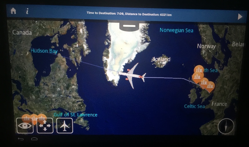
Our flight track across the Atlantic.


Some pretty cool cloud lines just after we left, somewhere North of Ireland.


Some closed cellular structures a little later on.
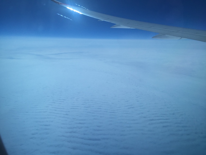 A little bit after crossing the Southern tip of Iceland, some amazing wave structures.
Finally, a time-lapse of some boundary layer clouds as we were waiting for a gate in San Francisco.
Leave a comment